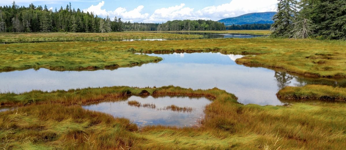
Wetland Mapping is another service provided by Herrick & Salsbury, Inc., for our clients. We can spot map small areas of wetlands or whole parcels. These areas are mapped using the 1987 Army Corps of Engineers wetland delineation manual, which is the expectation of regulating authorities at the local, state, and federal levels. We can determine if the wetland will be regulated or not, based on your proposed project.
To gain a deeper understanding of how wetland scientists assess environments under the US Clean Waters Act, click here. This document provides a comprehensive overview of the criteria and processes used by experts to evaluate wetlands, crucial for sustainable development and environmental conservation.
If mapping for an anticipated project, we can assist by evaluating the potential impact the project may have and what level of permitting may be required. Most times this is done in conjunction with our permitting services.
Many times, impact to a wetland will require permitting and/or require mitigation, either on-site mitigation, off-site mitigation, or purchasing wetland bank credits. Anytime you have a concern about a project or impacting a wetland, please contact us. We would be glad to consult with you.
Lead Professionals Permitting


