Land Conservation is an ever increasingly important and prominent facet within our service area. Land conservation generally restricts future development within a defined area. Surveys are needed to define the area and sometimes needed to define the height of an easement. Easements can begin or end at a certain elevation; for instance, the elevation of an entity can flood a reservoir or a mountaintop protection easement could begin at a certain elevation.
Other types of land conservation can include mitigation set aside areas that are typically used by developers when a project creates impacts on stormwater, wetlands, or wildlife habitat. As conditions of a permit being issued, the authority having jurisdiction will allow the development in exchange for either on-site or off-site easements. Sometimes these easement areas are granted to local land conservation groups for perpetual monitoring and maintenance of the site.
Much of our work is devoted to working with area conservation trusts. We survey small and large tracts of land that are being donated or purchased for permanent land conservation. Services include surveying the boundaries, defining the easement boundaries, brushing and blazing the easement lines, and mapping the easements.
Past Projects
- Acadia National Park
- Blue Hill Heritage Trust
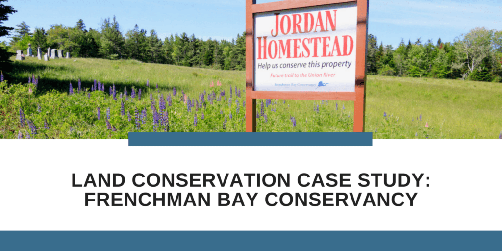
- Frenchman Bay Conservancy
- Hancock County Trustees (Woodlawn)
- Maine Coast Heritage Trust
- Maine Department of Transportation
- United States Navy
In The News
Case Studies