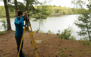
Residential Land Surveying Services
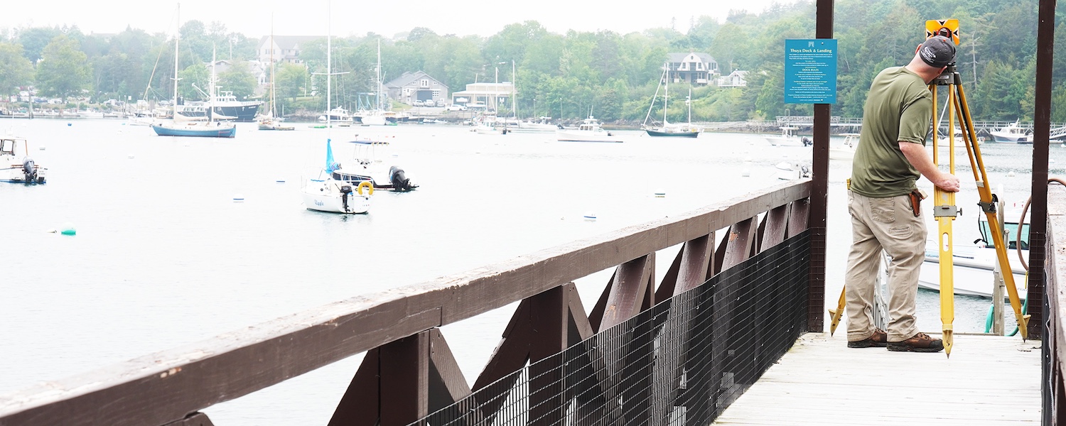

Residential Land Surveying Services
Whether you’re buying or selling property, planning a new structure, or resolving a boundary issue, Herrick & Salsbury, Inc. makes surveying property lines and preparing legal descriptions clear and straightforward.
Boundary Surveying
Clearly define your property lines for construction, sale, or peace of mind.
Legal Descriptions
Get precise, legally valid property descriptions for deeds and records.
Boundary Line Agreement
Document agreed-upon boundaries between neighboring property owners.
Lot Division
Split an existing parcel into two or more lots.
Elevation Certificates & Letter of Map Amendment
Support flood insurance adjustments and zoning compliance with elevation data.
Setback Staking
Ensure your new structure respects local setback regulations before building.
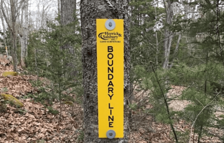
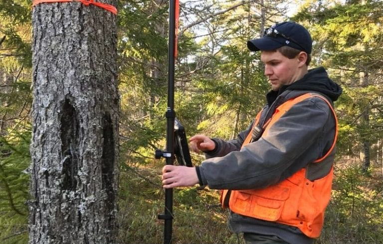
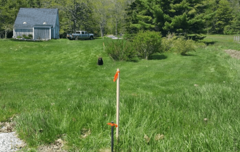
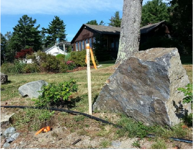
Line Markings
Visibly mark property lines, corners, or construction limits on your land.
Boundary Line Disputes & Expert Witness
Resolve legal or neighbor disputes with a professional survey and testimony.
Mortgage Loan & Pre-Purchase Inspection
Confirm structures are within boundaries prior to closing a real estate deal.
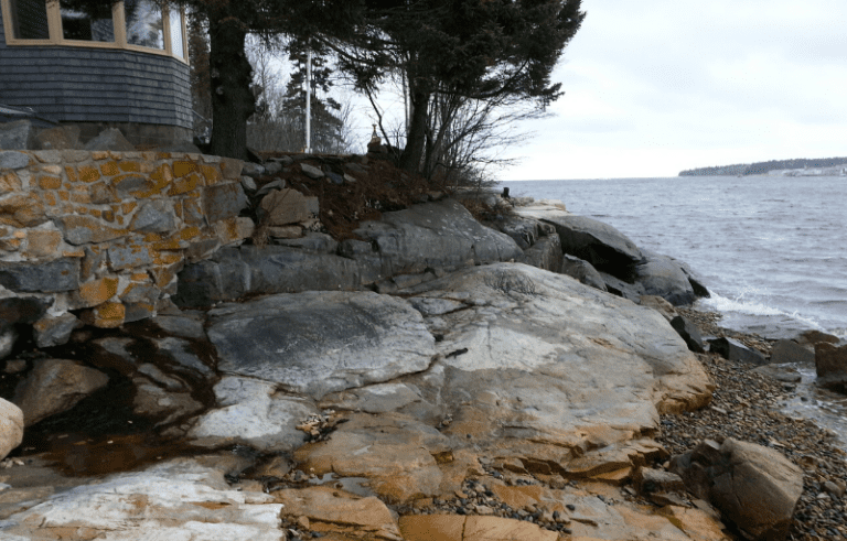
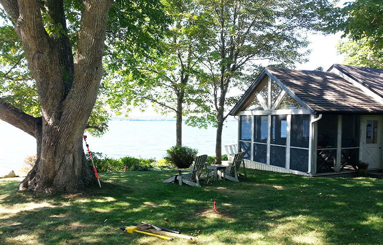
When Should You Survey Your Property Lines?
Residential surveying services can inform important property decisions, prevent costly mistakes in projects, help avoid delays during construction, and clear up confusion with neighbors. We recommend surveying your property when:
- Buying or selling a home
- Planning a new structure like a home, garage, or addition
- Acquiring permits or municipal approvals
- Dividing a parcel of land
- Facing a dispute with a neighbor
What to Expect from a
Residential Boundary Survey
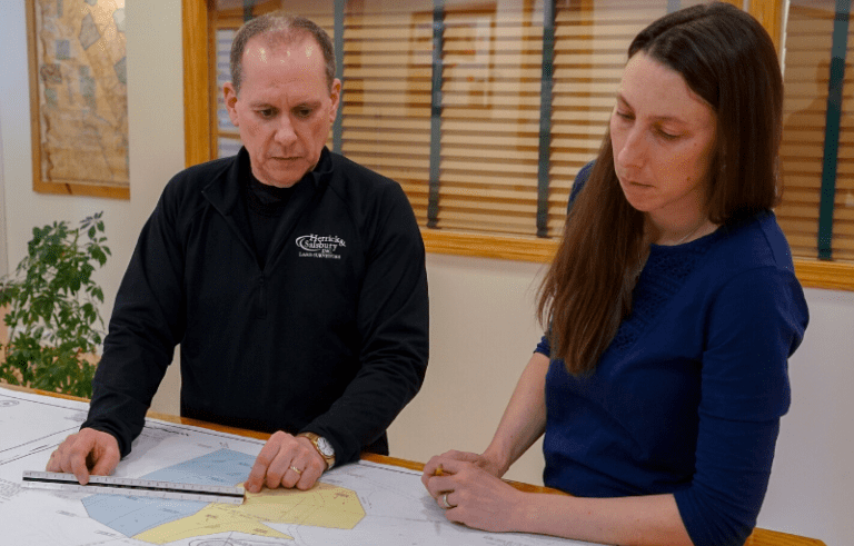
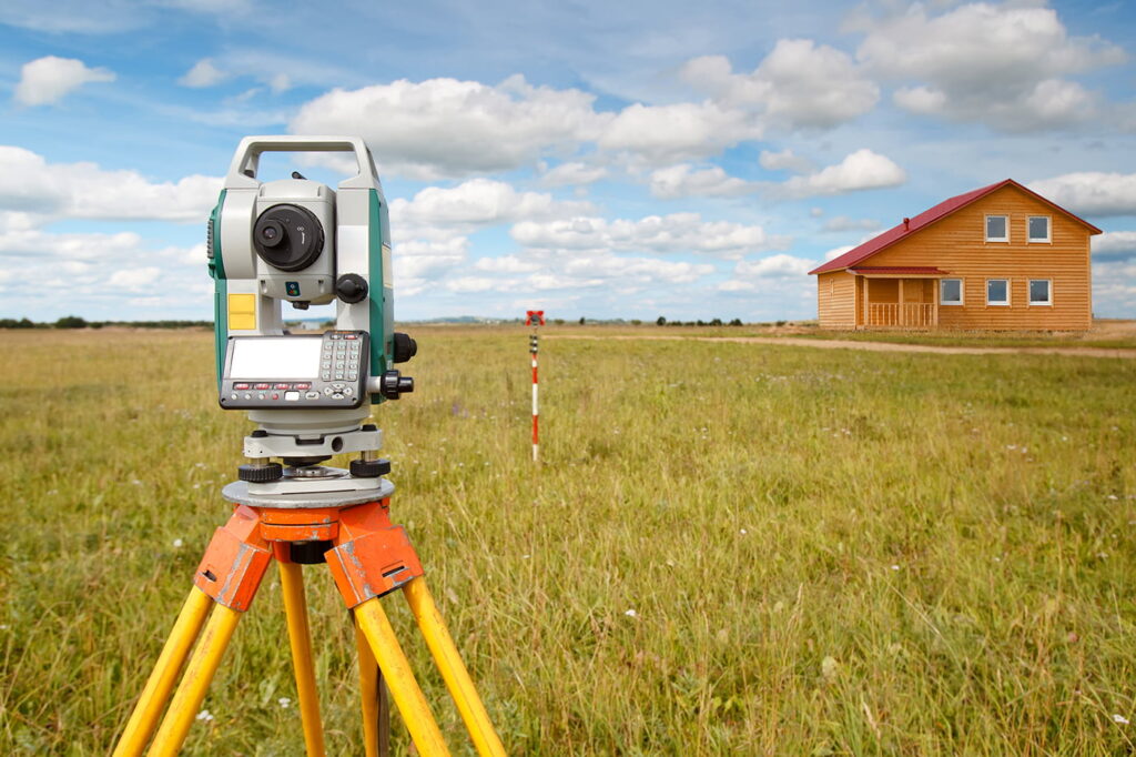
A typical boundary survey includes deed research, site measurements, and placing corner markers. You may receive a survey plan showing structures, property lines, and any relevant encroachments or easements. We can also prepare a metes and bounds legal description, detailing the directions and distances around the perimeter of the property, that can be used in a deed or permit application.

Mount Desert Island Residents Rely on Herrick & Salsbury, Inc.
With over 60 years of experience in Downeast Maine, our team knows the land, the codes, and the best path forward. We help property owners and real estate professionals navigate surveying and permitting with confidence.
What sets us apart:
- Deep local expertise in MDI and beyond
- Licensed Maine surveyors
- Local planning, permitting & code specialists
- Clear communication and documented deliverables
- Permit management to support construction or renovations

Neighbors Say
Ben was helpful and easy to work with by email. He got our survey done and a new legal description together so that we could update our deed.
Bryan Carey
Helpful Resources Before You Survey
Survey Process
Survey Costs
Survey Timeline
Get Started With an Instant Estimate
Every residential surveying project is different, but with a few details about your property and needs, you can get a useful price range right now. Submit your info for an instant estimate and we’ll follow up to research your project and provide a detailed proposal.