
When should I select a land surveyor?
A person generally has few occasions to consult a land surveyor. Since such consultation is so infrequent, the average person is not aware of the logical steps to be followed when selecting a Surveyor. There are several situations where you may need the professional services of a land surveyor. A survey is recommended when buying a new property, dividing your existing property, making improvements on your property, adjusting a boundary line, determining the location of your boundary lines, solving boundary disputes with a neighbor, preparing a letter of map amendment (LOMA) for flood-prone properties, or preparing a site plan for a planning board permit. Good boundaries make good neighbors.
Here are some reasons you may need a surveyor:
The land will be bought: Buyers are encouraged to have the property surveyed to prevent future disputes about its boundaries, especially when buying a small parcel recently split from a large parcel. If the purchase is being financed, the lender will require a survey to protect its interest in the property.
The land will be divided: When a large parcel is divided, whether into two parcels or a multi-lot subdivision, a survey shows the legal boundaries of the new, smaller parcels and additional features such as a road or utility easement into the property.
The land will be developed: If you own vacant land and intend to improve it in any way, including building on it, the land might have to be surveyed to establish its boundaries so that any improvement meets setback requirements. A setback refers to how far off the boundary or lot line the improvement must be. For example, a municipality might require that homes be built at least 20 feet off the property line (a 20-foot setback).
Improvements will be made to previously developed land: If you add structures such as a master suite, garage, deck, or fence to an existing home, a survey will demonstrate that the new additions meet setback requirements.
Boundaries are in dispute: Disputes arise over many issues, such as whether a fence is on the wrong side of the property line or a deck doesn’t meet setback requirements. These disputes are settled using a legal survey of the property.


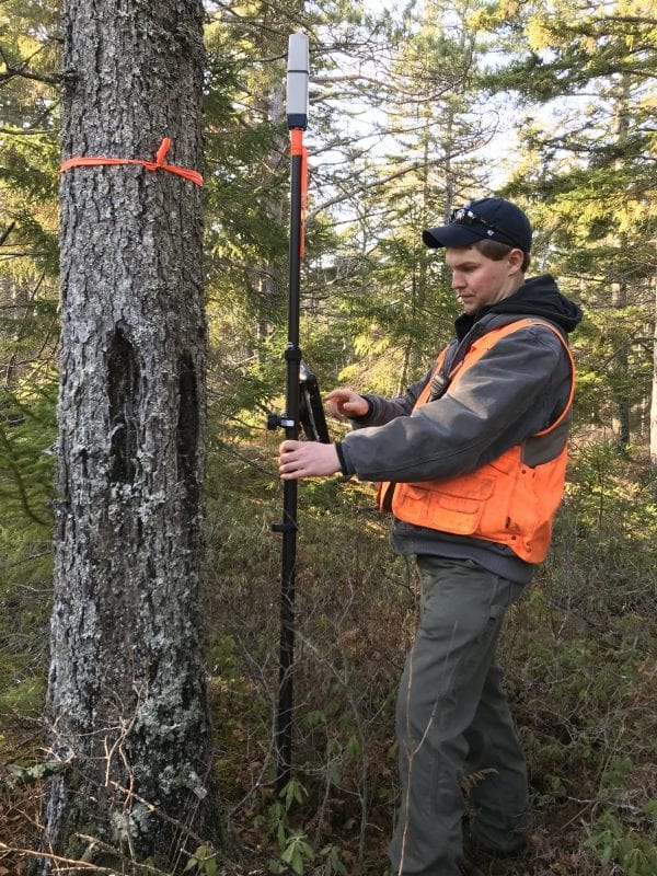
As a member of a professional team consisting of Realtors, Attorneys, Title Companies, Surveyors, Architects, and Engineers, the Professional Land Surveyor renders a highly technical and complex service. Professional land surveyors determine the location of record boundary lines based on evaluating many pieces of information.
A survey will document record right(s) of way, deeded or mapped easements, and encroachments both ways over boundary lines. If a plan is prepared, the improvements may be located and shown. Lines of occupation (fence, edge of the lawn, hedge, etc.) will also be shown or otherwise documented. During the course of a survey, a professional land surveyor will review title documents and research the parcel deed and the deeds of the neighboring properties.
A professional land surveyor is duly licensed by law to practice land surveying and holds, above all other things, the correctness and accuracy of his or her work.
Professional land surveyors also prepare reports and testimony and make statements that are truthful and based upon independent professional judgment. Professional opinions are founded upon thoroughly knowing the facts and carefully evaluating the subject.
In cases of controversy, a professional land surveyor may appear in Court as your expert witness if necessary. No one other than a professional land surveyor can assume responsibility for the correctness and accuracy of his or her work.
Before beginning any professional services, a surveyor and client must enter into a written agreement containing a scope of services, any exceptions to the standards set forth by the board of licensure, the fee or fee basis, and the timeframes to complete the agreed upon services.


How much will a land surveyor cost?
In general, you should choose your surveyor using more care than the “low-bid” approach. More land boundary disputes arise from these three causes than anything else.
- Failure to research the records sufficiently to discover all recorded facts.
- Failure to search long enough and thoroughly enough to discover the correct original position of monuments called for.
- Double meanings of words.
To perform his or her duties correctly, the surveyor needs time to address these problems. Any surveying services will probably entail many hours of work both on the property and in the office to complete. The fee charged is dependent upon the kind of survey required. The surveyor will prepare a written cost proposal for you upon request.
What must I provide the surveyor?
After explaining why the survey is being done, supply the land surveyor with an accurate legal description of the property you want to be surveyed. This legal description may be a copy of your Title Insurance Policy or a copy of the deed.
How do I select a land surveyor?
Frequently Asked Questions
Q: Who is qualified to survey my land?
A: Only registered land surveyors are permitted, by state statute, to perform land surveys.
Q: Is it likely that the surveyor I select will handle my survey competently?
A: Yes, surveyors, like other technical professionals, are licensed by the Maine Board of Licensure for Professional Land Surveyors and are reviewed for adequate education and/or experience in land surveying.
Q: How can I decide which surveyor to choose?
A: Here are some questions you can ask:
-
-
- Are they licensed and in good standing with the Maine Board of Licensure for Professional Land Surveyors?
- Are they a member of a professional association?
- Will they give you client references?
- Have they attended any recent seminars or continuing education classes?
- Will they provide a written agreement describing the scope of work, schedule, and costs?
-


What will a land surveyor do for me?
A professional land surveyor will advise you of any legal requirements necessary to perform the survey, which may not be obvious to the layman.
Frequently Asked Questions
Q: Will the land surveyor show me if there are any discrepancies with my property line?
A: Yes, if there are any discrepancies, they will be shown on the plan if one is prepared or explained in a written report.
Q: Will the land surveyor show me what he or she has surveyed on the ground?
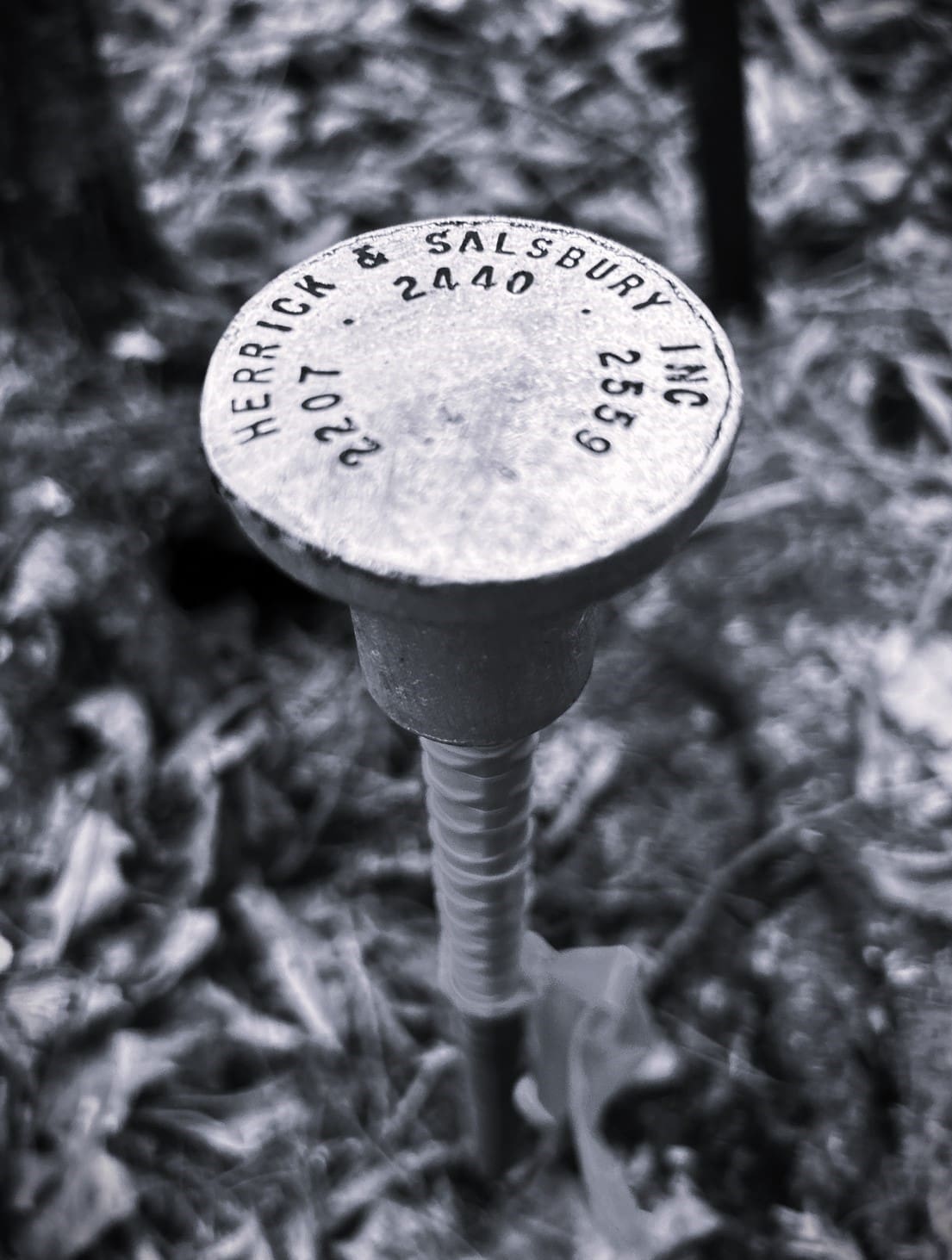
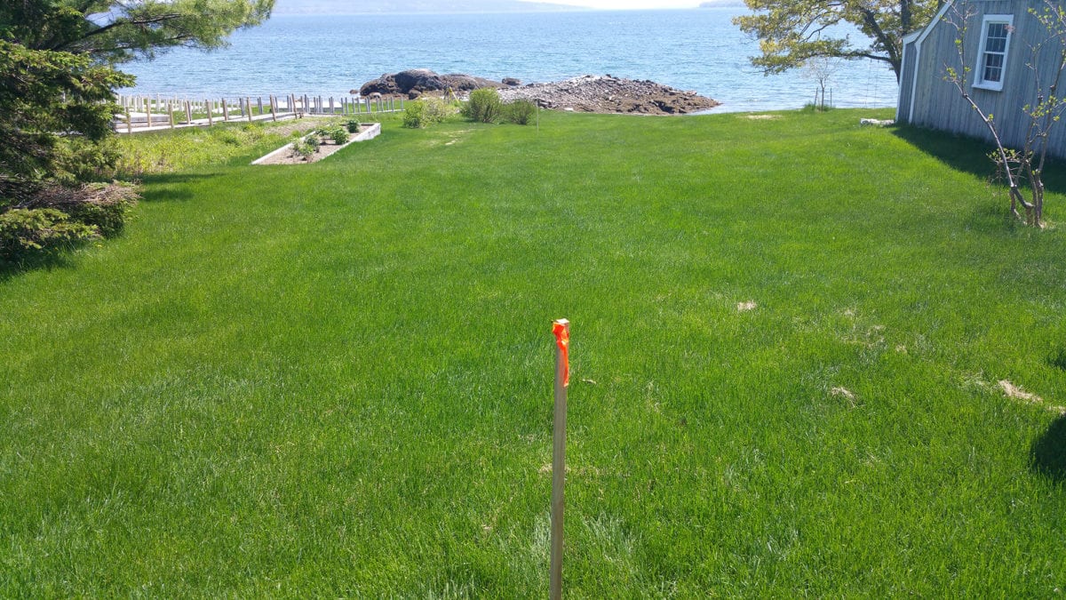
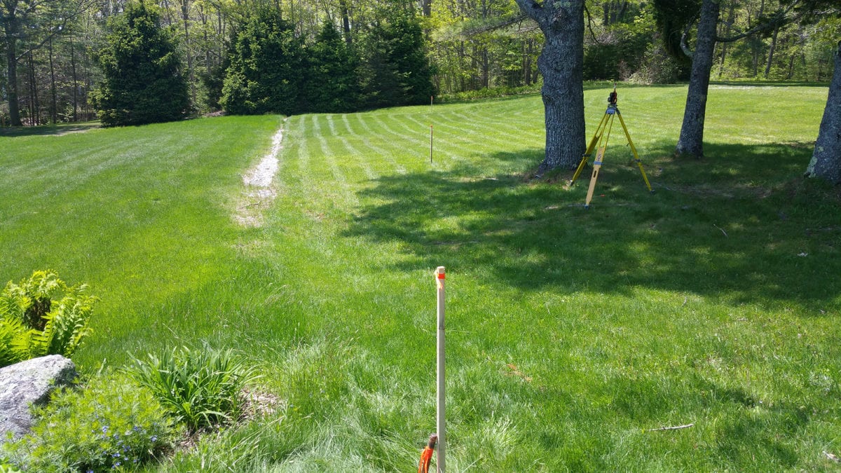
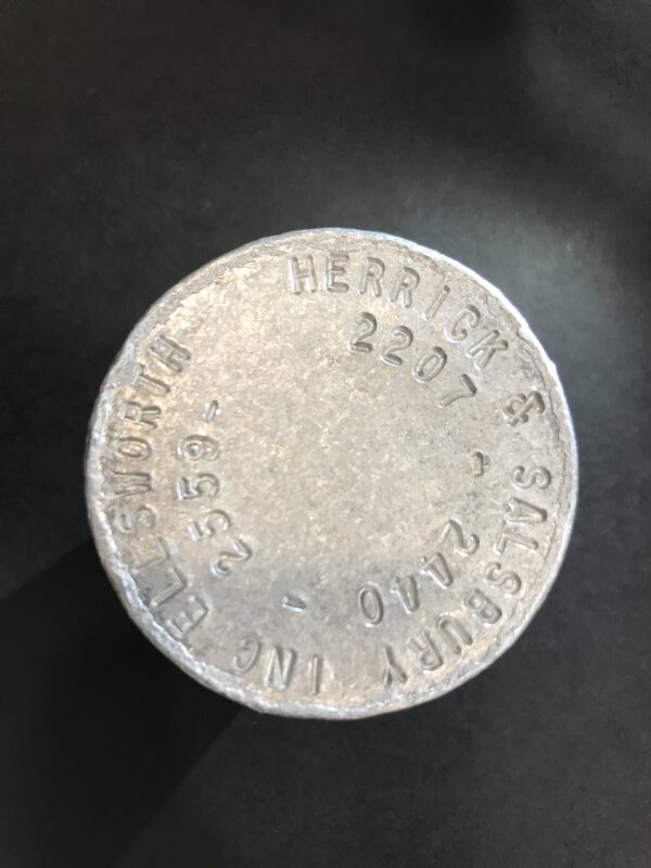
A: Property corners newly installed are expected to have a life expectancy of at least 25 years, are apparent and obvious, may be reasonably found, and the surveyor who set the corner can be identified with certainty. Typically, property corners will be marked with a visible steel marker bearing the professional land surveyor’s state registration number, name, or both. Other markers may be wood posts, brass disks, or metal tags.
Q: Should I explain why I want to have a survey made?
A: Yes, definitely. If the surveyor knows why you want a survey, he or she can recommend the kind of survey you need and how much detail should be shown on the map if one is to be prepared.
Q: Will the Surveyor draft a deed to cover the land surveyed?
A: No. A professional land surveyor is best qualified to provide a properly written legal description of the surveyed property for deed purposes. An attorney will be needed to prepare the actual property deed.
Q: Will a land surveyor tell me what I own?
A: He or she will interpret your ownership documents and compare them with field evidence and, after careful evaluation, express a professional opinion of your record land boundaries. Other factors may affect ownership or easements, such as boundary disputes, acquiesce, and adverse possession, that an attorney or the courts may need to address.

Definitions of Types of Surveys
Maine Boundary Survey – includes any one or more of the following:
(a) The marking of boundaries, the setting of monuments, or the restoration or rehabilitation of any monument marking a corner or line that controls real property.
(b) The determination of the location on the ground, of any appurtenance which may potentially affect the rights and/or the enjoyment of real property.
(c) Determining the position of any monument, reference point, or any other mark when such monument or mark controls the location of boundaries or rights of ownership in real property.
(d) The presentation of any survey drawings, maps or plats, and/or reports-of-survey or any other documents related to land boundary surveying for the purpose of identifying the location of real property.
Topographic Survey – A map of a survey showing topographic features such as buildings, fences, etc., and usually elevations or contour lines. These items can be client-specified or surveyor recommended.
ALTA/NSPS Land Title Survey – A survey for the purpose of supplying a title company or lender with data necessary for the issuing of extended title and/or mortgage insurance. This data pertains to physical improvements, encumbrances, and any encroachments observed during this survey. A detailed map is required based on the negotiated scope of services described in the current “Minimum Standard Detail Requirements for ALTA/NSPS Land Title Surveys.”


