Clients often contact us when being asked to purchase flood insurance, usually by a lender to ensure and protect the lender’s interest in the property. We know that flood insurance is very expensive. There are procedures available through our company that would either greatly reduce the cost of insurance or eliminate the need for insurance at all. A LOMA is used to revise the Special Flood Hazard Area (SFHA) boundary based on detailed elevation surveying and/or topographic mapping of natural conditions. The elevation certificate we prepare utilizes the standardized Federal Emergency Management Agency (FEMA) forms and will be used by your insurance agent to obtain a quote for the flood insurance if necessary.
Let Us Help Explain
A Deeper Look Into LOMA and Elevation Certificates
Flood Insurance Rate Maps (FIRMs) portray the SFHA which is typically shaded in a blue on the FIRM maps, within which the purchase of flood insurance is required as a condition for granting a mortgage from a federally-backed or federally-regulated lending institution. The lender or insurance agent must use the boundaries of the SFHA shown on the Flood Insurance Rate Maps to determine if mandatory flood insurance applies. The area between the flooding source and the flood hazard boundary is highlighted by the blue color. Thus, even though a site survey or an elevation certificate indicates the home site is above the Base Flood Elevation (BFE) and is technically outside the flood plain if the property is within the blue shaded area (the SFHA) on the map, the bank will say flood insurance is required. Yes, structures are many times identifiable on the FIRM because of the underlying aerial imagery, but the date of the photography is around 2004 so the aerial image may be outdated.
A LOMA is used to revise the SFHA boundary based on detailed elevation surveying and/or topographic mapping of natural conditions. If the home site and the lowest floor of the building (including basement or garage) are above the BFE, FEMA can amend the map to remove the home site and other land areas from the SFHA. (The map will not actually be physically changed or revised, but the structure or homesite will be certified as being outside the SFHA). Once the flood zone has been changed by a LOMA to B, C, or X, the building qualifies for a preferred risk policy, the least expensive flood insurance available. A landowner may not be required to purchase insurance at all after the LOMA is issued.
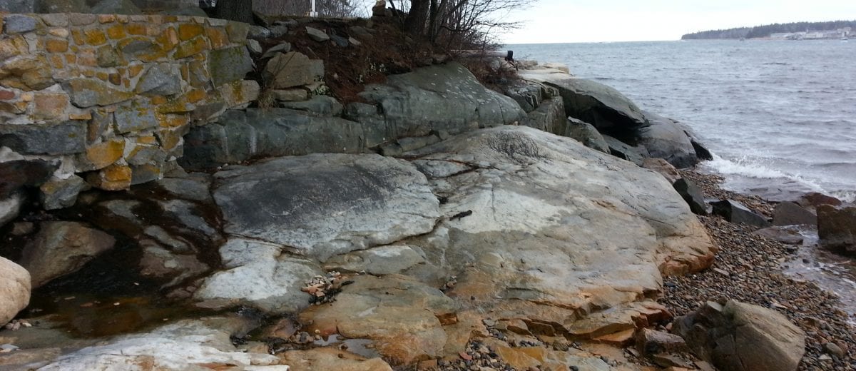
Until we visit the property, we do not know in advance if your structure will be eligible for a LOMA. What we do is visit the property, determine the flood plain elevation for the property, measure the elevation of the structure and complete an elevation certificate. If a structure and the existing grade around the structure are eligible (above the base flood elevation) we can then prepare a letter of map amendment application to remove the structure from the SFHA.
As a qualified professional, we have an online portal with FEMA and electronically submit the application to FEMA for processing. Many times, the application is processed and approved within a few days. Other times, depending on the situation, the processing time is 6-8 weeks.
If the structure is not eligible for the LOMA process, then a landowner’s only option will be to purchase flood insurance. The elevation certificate we prepare utilizes the standardized FEMA form 086-0-33 and will be used by your insurance agent to obtain a quote for the flood insurance. The elevation certificate is needed to rate the flood risk and determine the premium.
Related Blog Posts

What Our Clients Say
Getting Started
Have questions about elevation certificates/LOMA or what to expect? Check out our FAQs or reach out via our contact page.


