Surveying is like a jigsaw puzzle. Each puzzle piece represents a lot of land and all those lots need to be fit together, with consideration of the whole. The problem being that in surveying, the pieces rarely fit together perfectly, and so it is a surveyor’s job to re-fit those pieces in a timely manner for clients and landowners.
Research
Depending on the nature of the work, most, but not all jobs begin with some deed research. If we have never done any work in the vicinity before, several days of research can be expected. If we have done work at or near the locus, research will still need to be performed, bringing previous research to the current day. Depending on the nature of the project additional research may be needed in areas of town and city zoning, an examination of elevation data, and protected natural resources.
When we perform deed research, we consult the County Registry of Deeds for land descriptions dating back to its original creation. In addition, we will consult the county Registry for locus land outsales, wills, and encumbrances. We will also view any relevant recorded plans. It is important to note that during this phase, we will also spend time researching abutters’ deeds and their history. Other research could include contacting the relevant town or city to obtain zoning information. If there are lot size standards to meet or setbacks to adhere to, additional considerations can come into play including – shoreland zoning, flood hazard areas, coastal bluff areas, wildlife habitat areas, wetlands, stream determinations, and areas regulated by the Maine Natural Areas Program. Most of these categories are regulated by different towns or state and federal agencies.
Before heading out into the field we often consult USGS maps to gain a general topographic picture. If needed, digital elevation data is obtained from the Maine Office of GIS and run through our in-office program. And finally, some information may be obtained privately, from clients or abutting landowners. If projects necessitate these inquiries, contacting these various towns, landowners and agencies add time to the project.
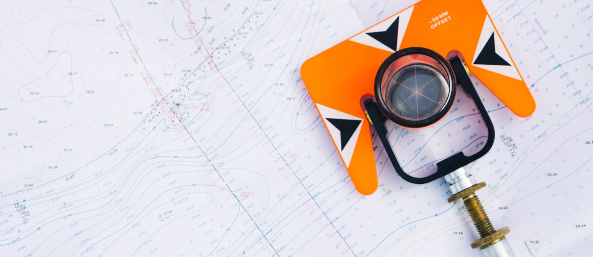
Fieldwork
Once the surveyor has a good feel for the land they are about to survey, they will head to the field with some sort of sketch of the land generated from the research they performed. The chance that pins will be set on this first trip is slim to none.
For it is this trip that the surveyor is searching for evidence, clues, landmarks – anything in the deeds, shown on plans, or mentioned in other documents they’ve examined. It is also the time when the experienced surveyor looks beyond the plans; they notice stone walls, tall trees down a property line, old garbage dumps, wire fences found under years of growth, lines of owner-occupation, eroding banks along the ocean, wetlands, streams, and anything that may indicate a property corner.
After the initial assessment has been made, the equipment comes out and the crew gets to work locating any marks or features they have deemed pertinent, including pins and marks found around the locus lot (considering the whole puzzle) as well as all improvements on the locus. The surveyor then sets some field controls – points that can be re-occupied at a later time – in our case, this is a wood stake driven into the ground or a nail driven directly into the pavement. It is important that the landowner understands these marks have nothing to do with boundaries but have to do with our orientation to the project. This stage of fieldwork can last anywhere from a day to several days.
Analysis
After the initial fieldwork is complete, the data is compiled into our system. It allows for the surveyor to inverse between coordinates. Then the challenge of correlating the words in the deeds and points shown on plans, to what was found in the field commences – while considering the puzzle as a whole, not just the puzzle piece. This step of the process can take a day or so. This analysis may prompt more research. Perhaps more unrecorded plans are uncovered. At this point a couple of things typically happen: (1) A decision can be made as to where the boundaries of the locus lot should be placed on the ground with the information collected, or (2) The initial field visit did not generate enough data to place any boundary lines on the ground.
In the case of needing more data, the survey crew will return to the field and complete the process again. If found, the new data will be downloaded and considered alongside all other data.
Layout Plans
Finally, a layout for setting pins will be created and then uploaded to our field equipment and a crew will return to the field for a final time to set pins, mark lines, set setback stakes, or do whatever it was they were contracted to do. This process typically takes up to a few days.
Back in the office, the surveyor downloads any additional field data collected and begins to draft a plan showing the boundary lines of the locus lot in relation to the improvements found in and around the lot. Abutting deed references are shown. Plans referenced are shown. A typical plan takes about a day to draft. If descriptions are requested under the proposal, they can take up to an additional day to complete. Then a letter is composed to the landowner presenting our findings and final documents.
Behind the scenes, edits, report writing, organization, filing, email correspondence, and databasing/cross-referencing the locus job with our office files all adds additional time, amounting up to a day’s work – literally.
It is typical for crews to be working on several jobs at any given time. Between the weather, waiting for email correspondence, agencies, fellow surveyors and clients, and scheduling Registry times – it is common for crews to work on another project to keep busy while another is pending. Not to mention that some projects don’t have simplistic answers and sometimes it takes time to figure out how we will remedy the situation.
Regardless of how long the survey process seems to take, be assured we do have a plan for the completion of each and every project we take on. Please feel free to contact us to check in with our progress at any time or if you have a project you’d like to get started.


