At Herrick & Salsbury, Inc., we have just shy of 60 years experience in producing quality boundary surveys, as well as construction and topographic surveys. We also work extensively in the land development business completing subdivisions and commercial site plans from concept to final design and approval.
Boundary surveying is regulated by a licensing board within the State of Maine Department of Professional and Financial Regulations, Board of Licensure for Professional Land Surveyors and is defined as:
Any service or work involving the application of special knowledge of the rules of evidence and boundary laws, principles of mathematics and the related physical and applied sciences for measuring and locating lines, angles, elevations, natural and man-made feature in the air, on the surface of the earth, within the underground working and on the beds of bodies of water. This service or work shall be for the purposes of determining areas and volumes, for the monumenting of property boundaries and for the platting and layout of lands and subdivisions of land, including topography, alignment and grades of streets and for the preparation and perpetuation of maps, record plats, field note records and property descriptions that represent these surveys.
Because land surveyors are governed by rules adopted by the Board of Licensure, Herrick & Salsbury, Inc., provides all clients a specific contract for each project listing the scope of work, fees, and schedule.
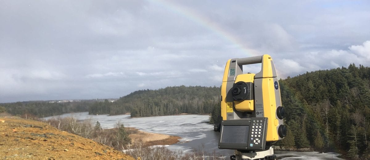
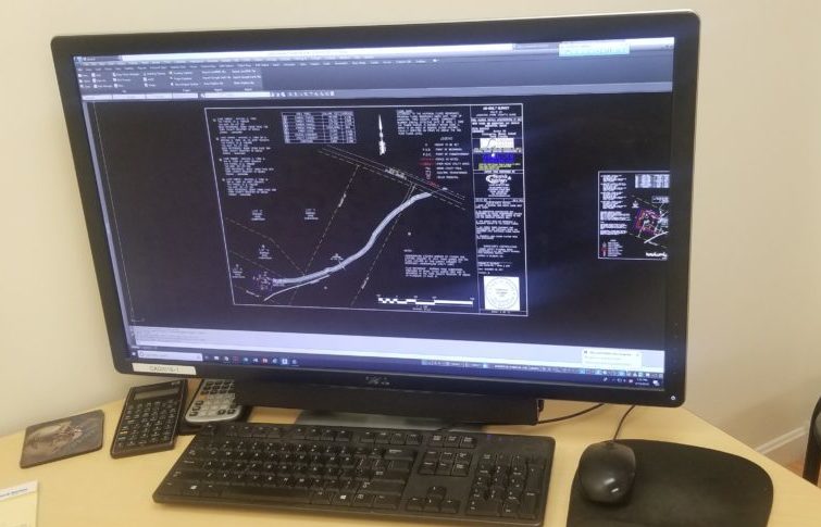
We use current model total stations and robotic instruments equipped with data collectors to collect field data, and back at the office, the information is processed using Autocad mapping software. In 2007, we switched from using Autodesk land design software to Carlson surveying and design software, while still utilizing Autocad as our mapping engine. Carlson has become an industry leader in developing user-friendly programming. All of our drawings can be delivered to our clients on an Autocad drawing file format or Shape files, which are the leading industry standards.
For other applications, we offer the services of global navigation satellite system GPS equipment. We have a variety of static, GIS mapping grade and RTK centimeter accuracy GPS equipment to match any application. This can be a very productive tool for locating features, boundary control, construction layout, and utility mapping where conventional survey techniques would be too time-consuming or not practical.


